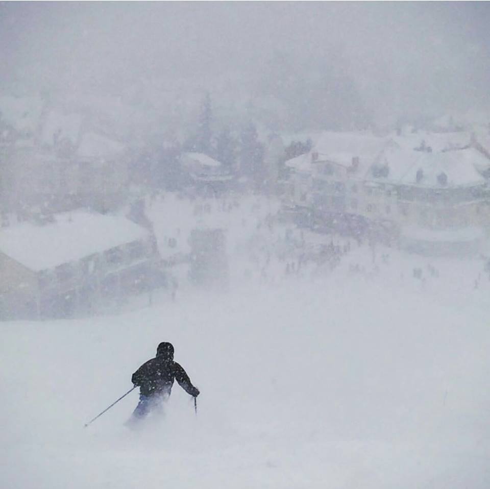
(Above: Happy Faces at Le Massif in Quebec after the snow finally arrives in Eastern North America)
At last! After an almost completely dry December in the Alps, the snow has rolled in to Europe on New Year’s Day 2016. The snow is just getting started, but if forecasts are correct, some huge accumulations seem likely by this time next week. The most exuberant we’ve seen is for more than 3 metres/10 feet (!!) of snow at Zermatt over the coming week. That might cause almost as many problems as it resolves, but hopefully it, and everywhere else, will get a good dump to properly kick start winter 2016 at last! Snow is expected in the Pyrenees and Dolomites too.
Elsewhere there’s been a good snowfall in Eastern North america too – which needed it even more than the Alps and Scottish slopes opened briefly just after Christmas before being forced to close again by Storm Frank.
Austria
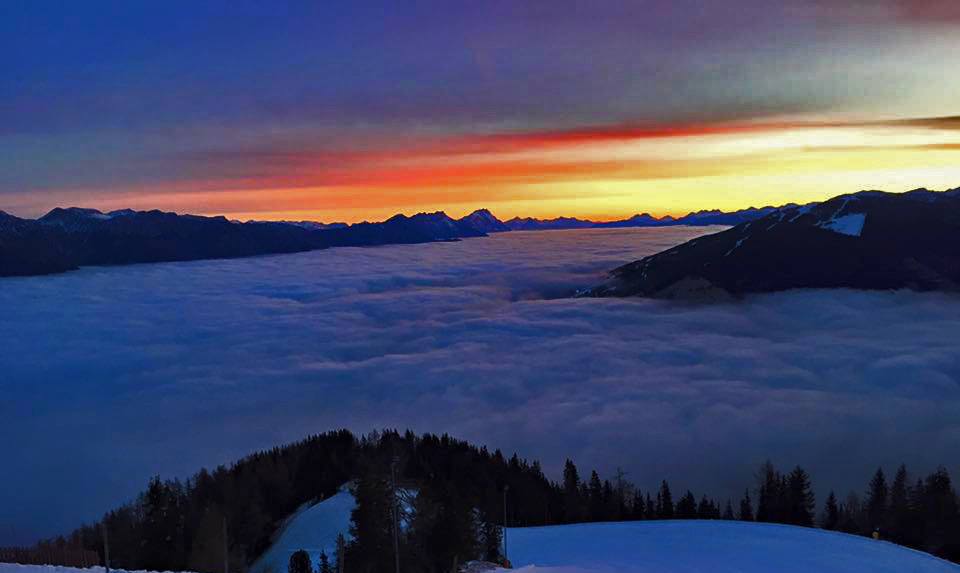
Serious snowfall is expected in Austria over the coming week, but as we go live on Saturday morning Jan 2nd not much has arrived yet and there’s a good sunrise over Schladming (pictured) hopefully it will have received a metre of snow, like much of Austria, by this time next week.
France
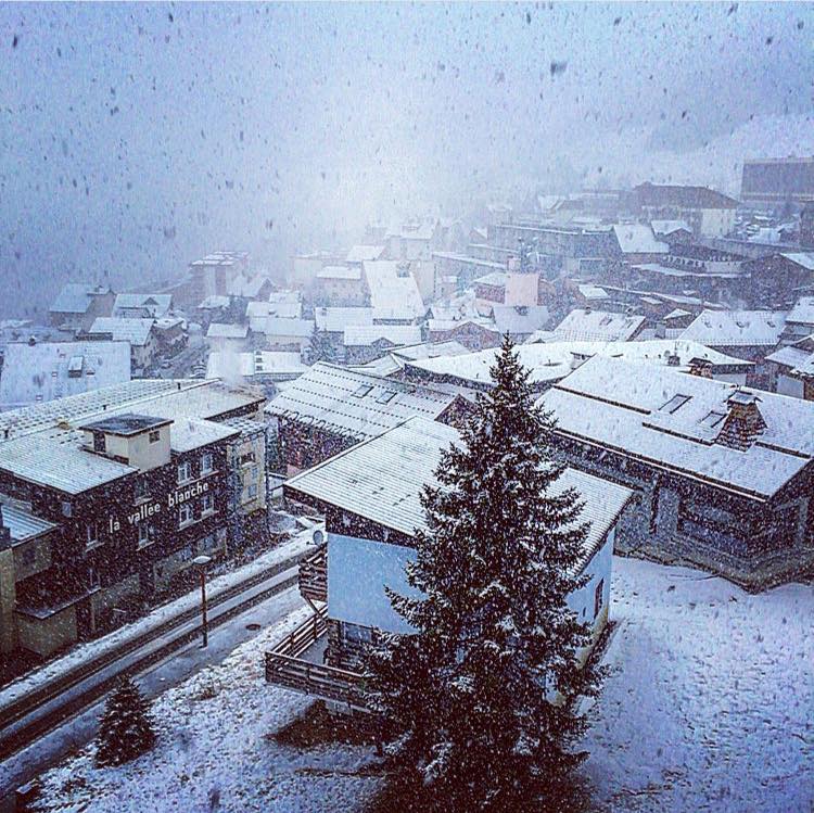
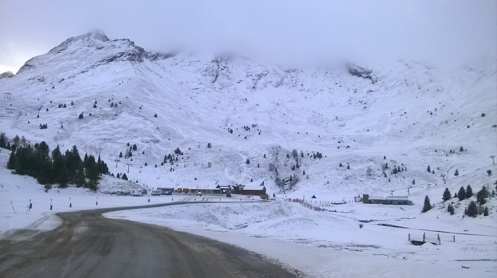
The snow has started to fall in the French Alps (Alpe d’Huez pictures) and it is supposed to be increasing in volume over the next few days and indeed weeks. Most areas may get up to a metre of snow by the end of Monday 4th and double that, potentially, by this time next week, transforming conditions.
Italy
It’s snowing in Italy too, much more snow is expected here also over the coming days and weeks. The forecasts are from 1-2m in the next week on the western side of the country’s north but the Dolomites, which have so far missed out on any snow this winter should also get sizable snowfalls to top up their Herculean snowmaking efforts.
Switzerland
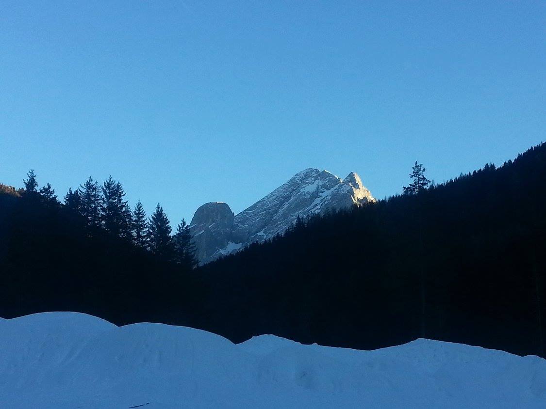
The calm before the (Hopefully) huge (snow) storm at Zermatt which has seen the biggest snow forecasts of all of Europe – with up to 3m (10 feet) of fresh snow estimated by one forecaster. That much seems unlikely but the whole country looks set to receive big snowfalls too this week.
Scotland
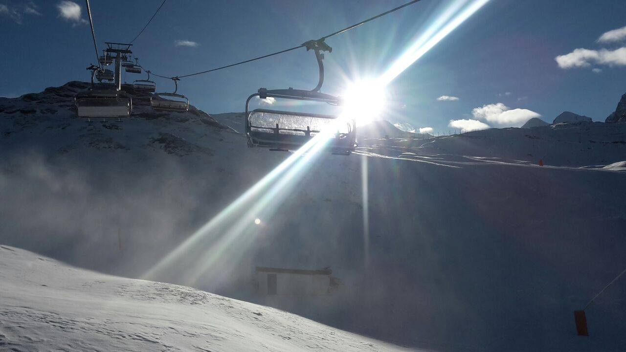
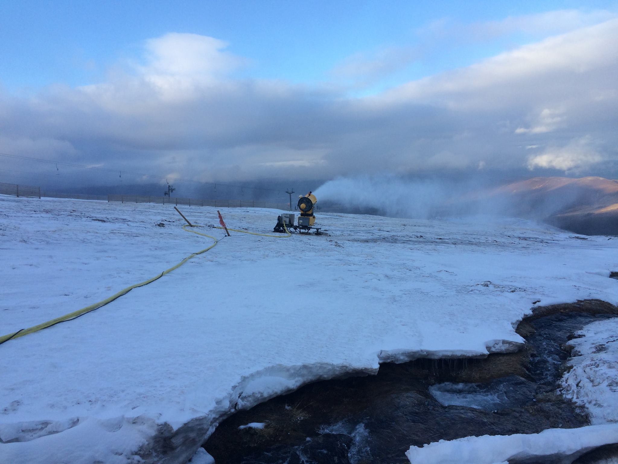
Small areas opened briefly on Dec 28th at Cairngorm and Nevis Range before storm Frank brought gales, a fast thaw and rain which in the case of yet-to-open Glenshee even washed away the road there from Aberdeen, the key customer base city – a whole new hazard. Cold weather is expected over the coming fortnight with fresh snow and the snowmaking guns are running at Cairngorm (see above) so hopefully re-opening is imminent.
Pyrenees
The forecast snowfall has started in The Alps and the Pyrenees. Here’s Cerler in the Spanish Pyrenees. Snow has also been reported in Andorra.
Scandinavia
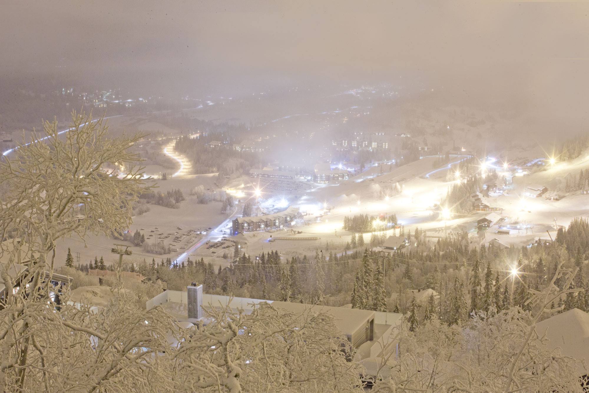
Despite a worryingly wart midweek spell in Scandinavia, it’s looking a lot like a full on normal winter now with most areas in good shape with fresh snow and all runs open.
Eastern Europe
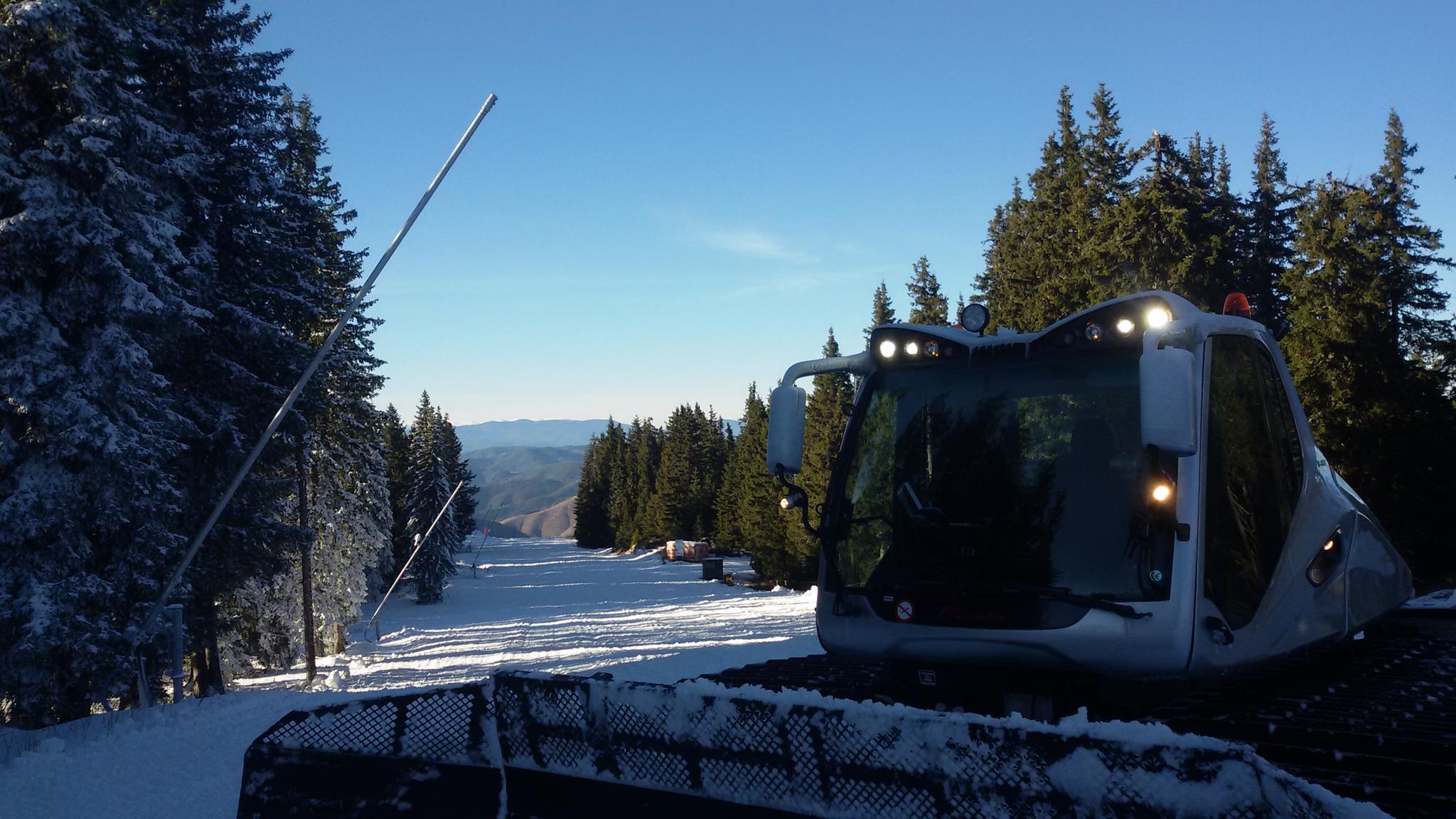
Mostly surviving on snowmaking for the past few week, Eastern Europe should see good snowfall this week too, with forecasts of up to two feet of snow in Bulgria’s Balkan mountains.
Canada
After a season to date that has (almost) broken snowfall records on the west (over 5m season-to-date in Revelstoke, BC) and broken the wrong kind of snowfall and temperature records on the East (No snow, too warm for snowmaking in much of Quebec and Ontario) the situation has finally been reversed with thye first powder alarms of the season in the east for more than 20cm in 24 hours.
USA
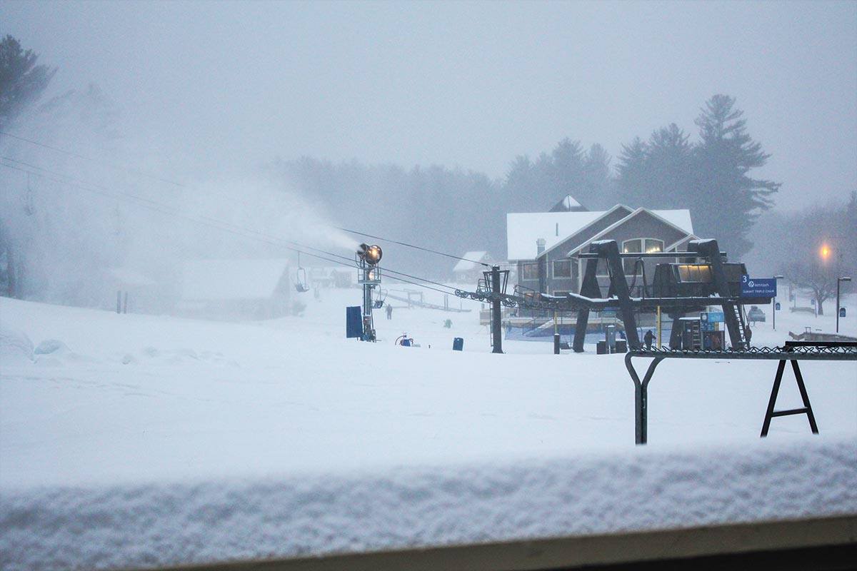
A similar picture to north of the border, the snow in the West finally slowing down (Although there was a few more inches and base depths are over 2m at some centres now), but at last some decent snowfalls in the East. Here’s Attitash in New Hampshire as it started to build up.


