There have been a succession of huge snowstorms in California, and of big snowstorms in parts of the US East Coast too, through March.
The snow has led to accumulations of up to a metre of snow in 24 hours and two metres of snow in 48 hours at some ski areas by Lake Tahoe, whilst a succession of snow storms on the East coast brought big accumulations there too.
Some Californian ski areas say they’ve now had five metres of snow since the start of March and that snowfall totals are currently running ahead of the recent ‘snowiest month in history’ – January 2017.
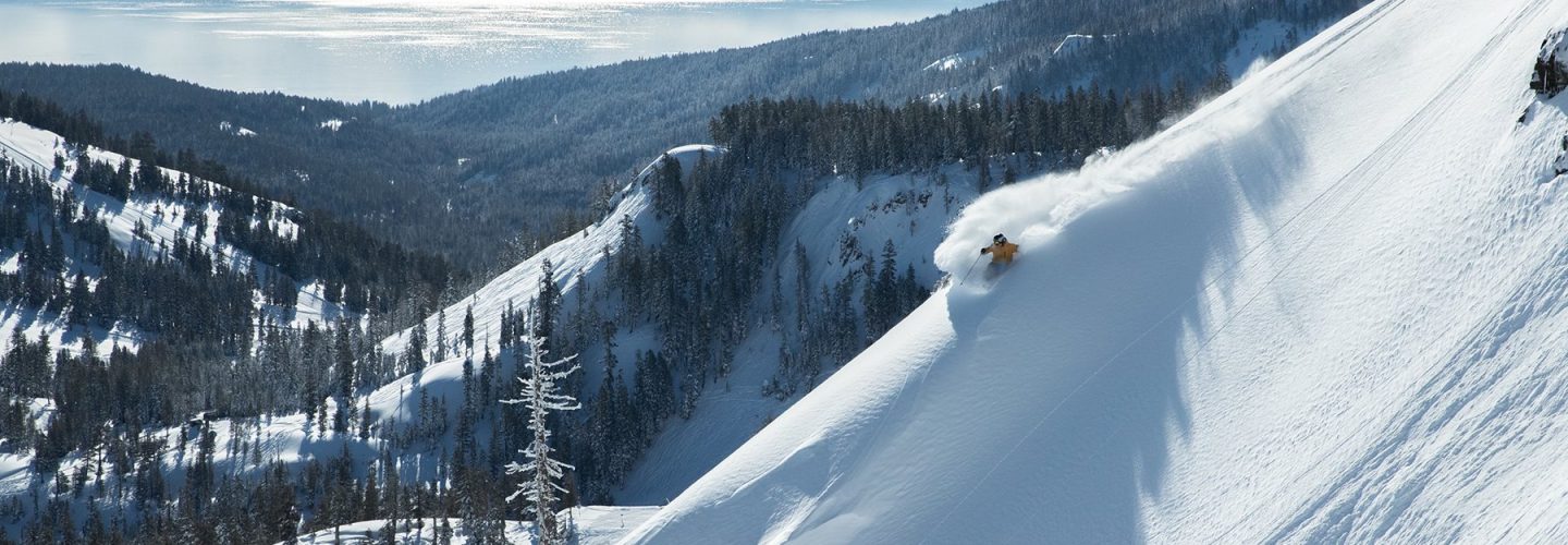
(Squaw Valley pictured top and video above between storms)
It’s all being dubbed the ‘March Miracle’ because the region had had a particularly dry, warm winter and the snowfall since the start of March is several times the total for the rest of the season until them combined.
In the short term all the snow is limiting operations as ski areas battle to mitigate avalanche danger and other issues caused by all the snow.
However with seasons stretching to late May initially and potentially as late as June, July or even August, the news that base depths are now approaching five metres is very good for the next 2-5 months of the season.
Currently there’s a lull in the snow storms but more big falls are forecast for the latter half of this week.


